8.7274° N 77.6838° E
Tirunelveli, Tamil Nadu Map Poster
A street map of Tirunelveli drawn from OpenStreetMap, printed at 300 dpi on matte paper or downloaded in minutes.
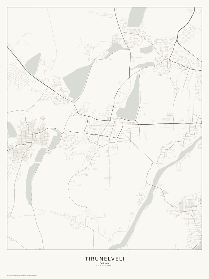
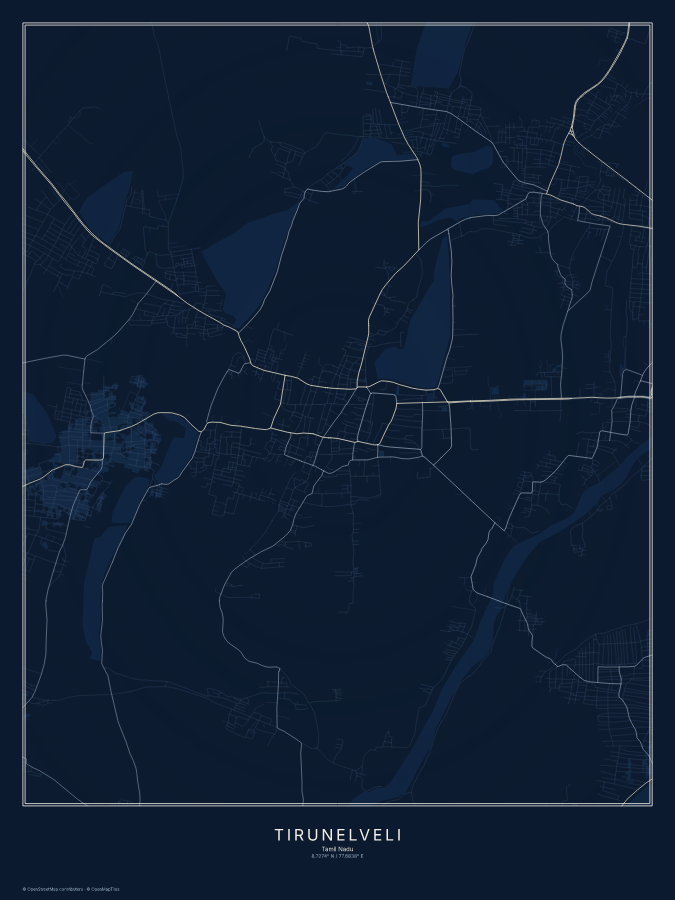
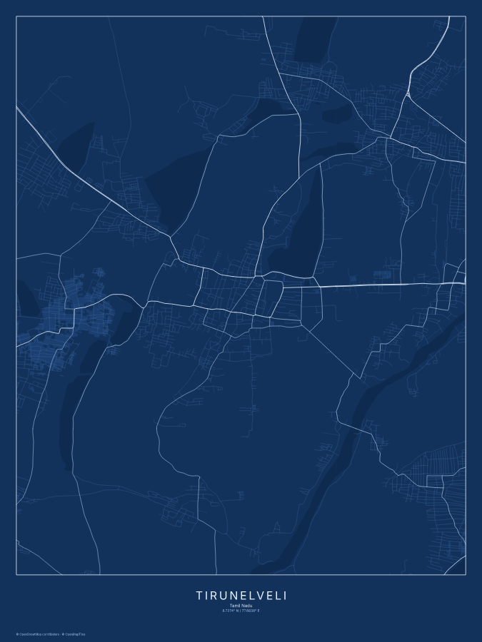
Tirunelveli, Tamil Nadu sits at 8.7274°N, 77.6838°E, in the Asia/Kolkata time zone, home to roughly 1,435,844 people. A custom map poster centered here turns that exact point on the globe into a print worth hanging: the streets, parks, and waterways around Tirunelveli, rendered from real map data at whatever radius frames the place that matters to you, not a stock illustration of a skyline.
Every Map & Sky map poster is generated on demand for the coordinates and caption you choose, so a hometown, a first apartment, a proposal spot, or a favorite park all print exactly as they sit on the map today. Pick one of the three color styles above, or start from scratch and move the pin anywhere on Earth. Cities near Tirunelveli you could map instead include Thiruvananthapuram, Madurai, Teni, Kochi, Kanayannur, Tiruchirappalli, Coimbatore, Tiruppur — any one of them makes just as good a starting point for your own design.
Sizes & prices
| Size | Framed | |
|---|---|---|
| 12×16 in | $34.99 | $69.99 |
| 18×24 in | $44.99 | $99.99 |
| 24×36 in | $59.99 | $149.99 |
Prices include free shipping within the US.
The sky over Tirunelveli
The same coordinates, computed for the night sky above Tirunelveli — a star map reads as a companion piece to the street map, not an afterthought.
Design a star map for Tirunelveli
Midnight style, shown for New York. Yours is plotted for Tirunelveli's coordinates and your date.
Nearby cities
Just as good a starting point for your own design.